Dalton Highway (Alaska 11) Photo Journey - page 3
by Oscar Voss
Expanded and updated May 2018
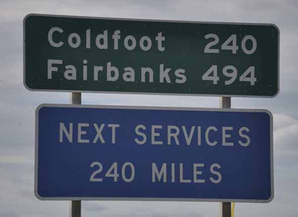
This is the final page of a three-page photo collection on Alaska's Dalton Highway to the Arctic Ocean. The photos below complete the journey north from Atigun Pass to the Arctic Ocean, and concludes with a list of sources and some other Dalton Highway web sites. Page 1 covers the southern end of the highway, from its beginning in Livengood to the Arctic Circle (mile 115), and also provides introductory information about the highway and this photo collection. Page 2 covers the highway north of the Arctic Circle (mile 115), through Coldfoot (mile 175), to Atigun Pass (mile 245).
NOTE: If you want to see a more detailed version of one of the photos below, click it to view an enlarged, and sometimes higher-quality (less .jpg compression), version if one is available. Those alternate versions have much larger file sizes, so please be patient while they download.
|

(Page 2: Arctic Circle-Atigun Pass)
or go back to Page 1: Livengood-Arctic Circle
|
 |
 Just as the Dalton Highway was steep and winding approaching Atigun Pass from the south, it is also steep and winding on the way down the other side of the summit. (August 2004, courtesy of Walter Haight) Just as the Dalton Highway was steep and winding approaching Atigun Pass from the south, it is also steep and winding on the way down the other side of the summit. (August 2004, courtesy of Walter Haight)
|
 |
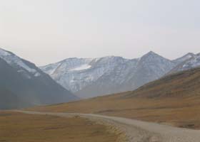
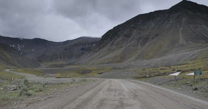
The highway begins the steep ascent southbound to the Atigun Pass summit, near mile 250. (July 2012)
|
_DSC4670.jpg) |
One of several bridges over the Atigun River. I think this is bridge #1, just north of mile 253. (July 2012)
|
 |
 Two more photos of the highway, approaching Atigun Pass from the north. The first photo may be near mile 256; I don't know about the second, but it may be closer to the pass. (Both photos August 2004, courtesy of Walter Haight) Two more photos of the highway, approaching Atigun Pass from the north. The first photo may be near mile 256; I don't know about the second, but it may be closer to the pass. (Both photos August 2004, courtesy of Walter Haight)
|
|
|
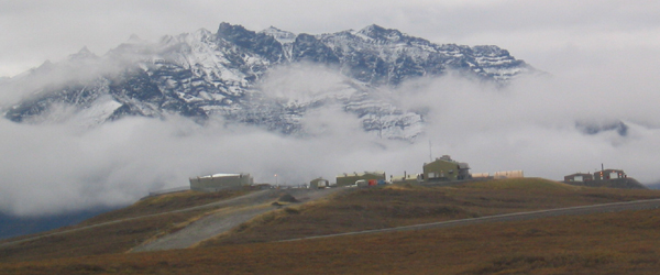
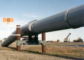
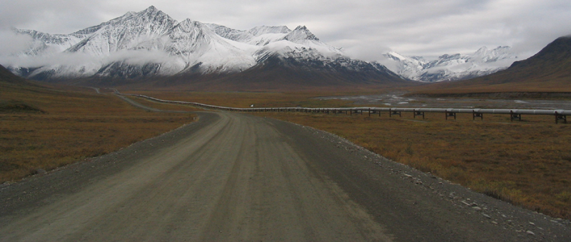
 One of the pipeline's pump stations along the highway on the north side of the Brooks Range, Pump Station No. 4 near mile 269. (August 2004, courtesy of Walter Haight) One of the pipeline's pump stations along the highway on the north side of the Brooks Range, Pump Station No. 4 near mile 269. (August 2004, courtesy of Walter Haight)
|
 |
The highway descends here toward the Atigun River, northbound on the way down from Atigun Pass. (August 2004, courtesy of Walter Haight)
|
 |
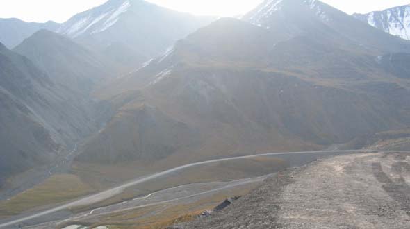
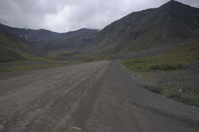
This is another photo I took of the southbound approach to Atigun Pass. I'm not sure where I took the photo. (July 2012)
|
_DSC4598.jpg) |
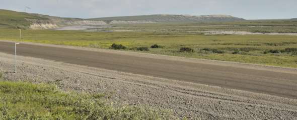
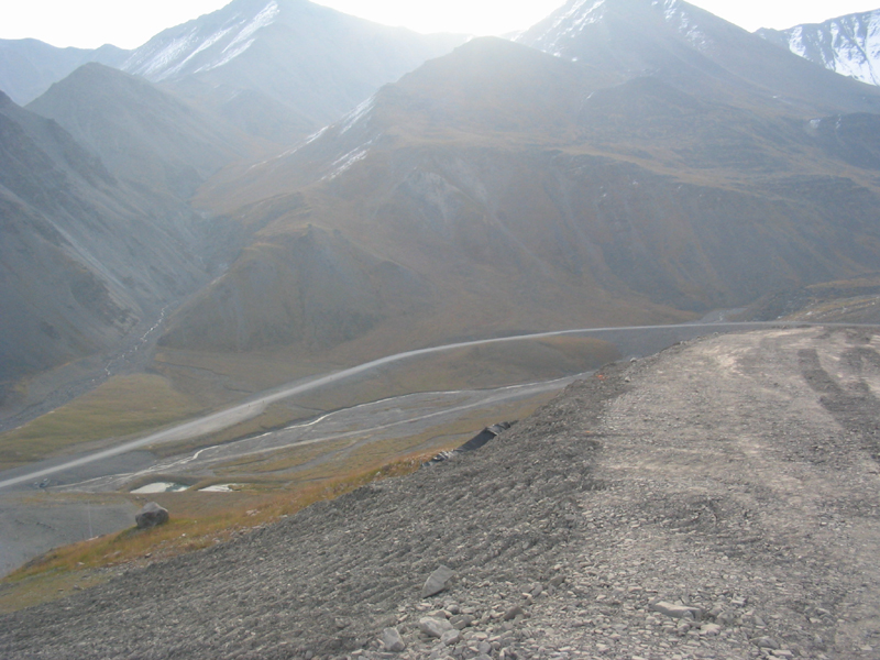
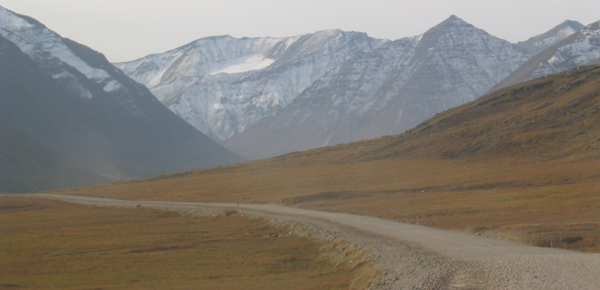
I'm pretty sure that this is Slope Mountain, west of the highway, and that I took the photo near mile 301. (July 2012)
|
 |
Near the bottom of the half-mile long "Ice Cut" grade, northbound near 325. The steep and narrow grade is a good place to yield to big trucks, as they build and maintain the momentum helping them get to the top of the hill. (July 2012)
|
 |
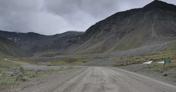
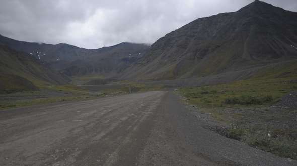
At mile 326.2, the pipeline passes under the Dalton Highway at the left. The gravel road in front of the pipeline, before it ducks under the highway, is a pipeline access road. (July 2012)
|
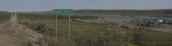 |
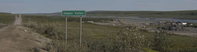
Happy Valley, near mile 334, is the site of a former construction camp. It has no permanent residents, but has free no-services RV parking, and is sometimes used as a base camp for hunters. (July 2012)
|
 |
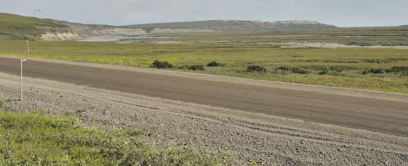
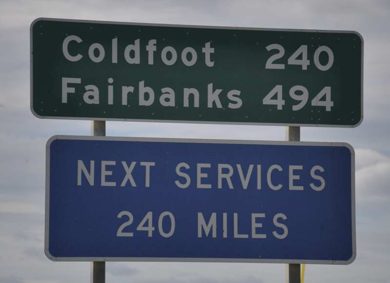
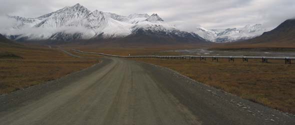
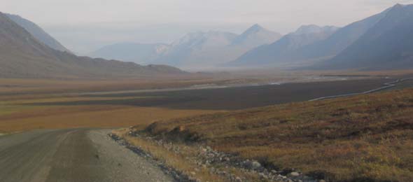
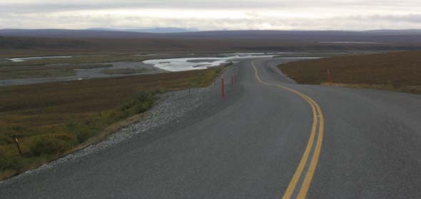
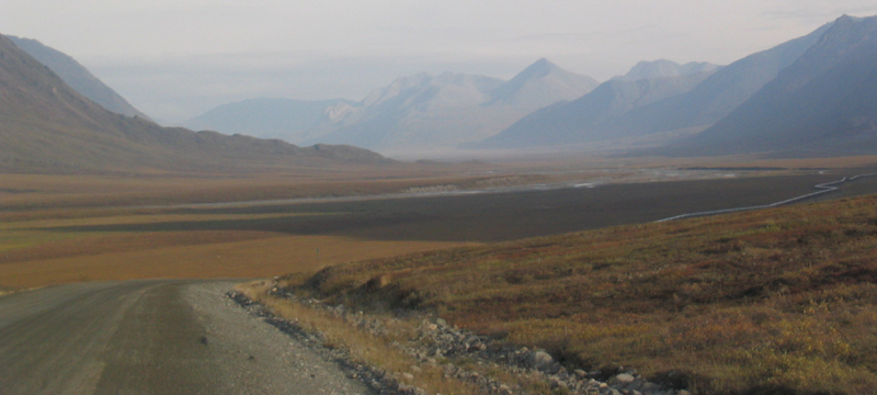
The Sag River Overlook, at mile 349.8, offers a view of the braided channels of the Sag River, which follows the highway the rest of the way to Deadhorse. (July 2012)
|
 |
Pavement resumes near the north end of the highway as it approaches Deadhorse, here within 30-40 miles of road's end. (August 2004, courtesy of Walter Haight)
|
 |
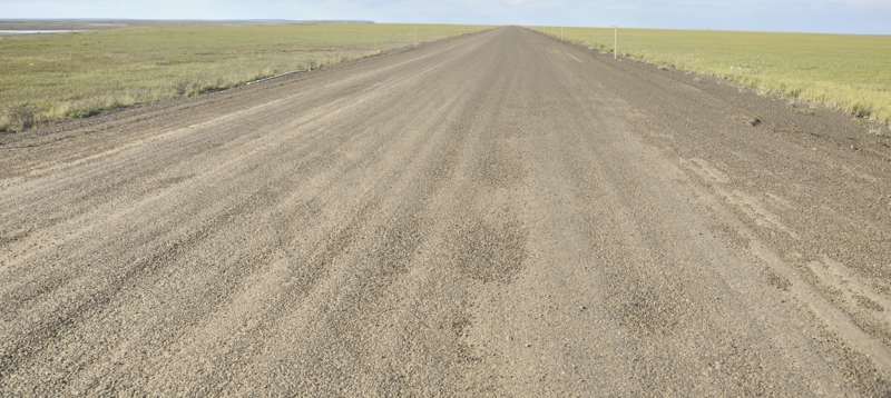 |
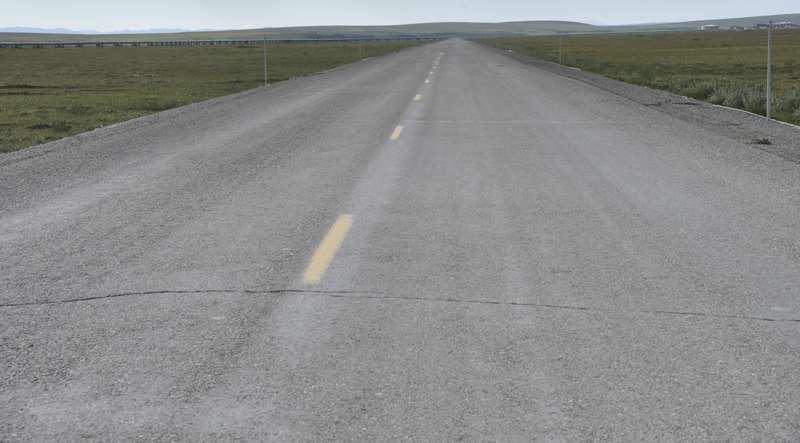
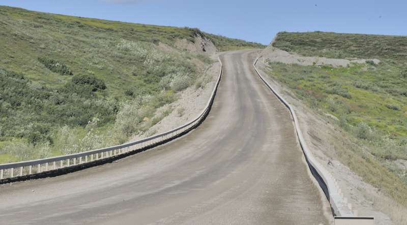
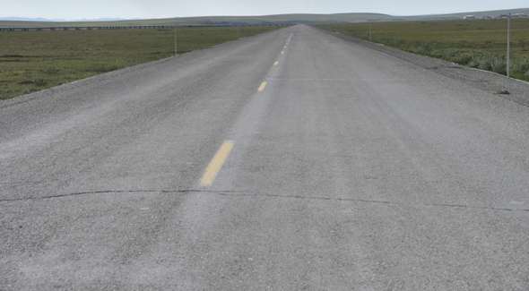
In the eight years since the preceding photo, the pavement has deteriorated (first photo, near mile 361), or is disintegrating (second photo, near mile 400). But even disintegrating pavement is better than none, with less gravel thrown up by opposing traffic into your windshield. (Both photos July 2012)
|
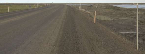 |
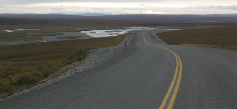
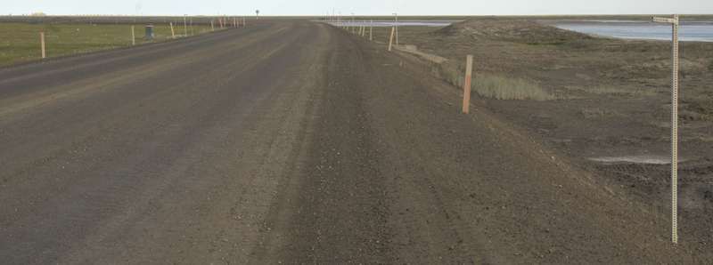
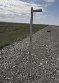
Especially along the northernmost parts of the highway, the roadbed is lined with delineators, to help truckers stay on the road when visibility is poor. (Both photos July 2012)
|
|
 |
 |
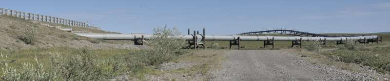
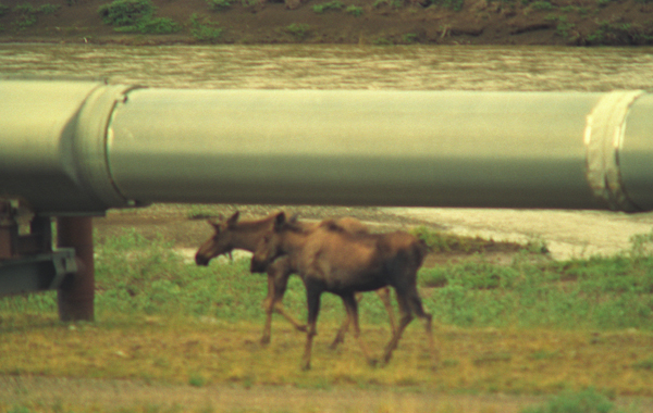
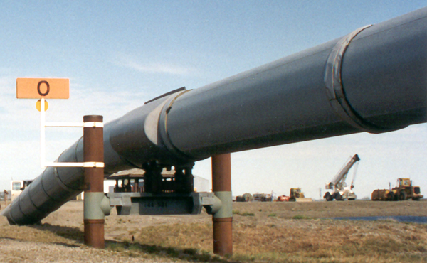
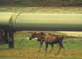
The oil companies
love photos like this, taken somewhere on the coastal plain north of the
Brooks Range (probably between miles 326 and 400). Some environmentalists
had feared that the elevated pipeline would disrupt normal wildlife migrations, and some
portions were buried underground (in some places with insulation and even refrigeration systems,
to keep frozen the permafrost underneath). It turns out, however, that not only does the pipeline not bother the local
wildlife, but some of the critters like to scratch their backs on the supports. (July 1994)
|
The north end of the pipeline in Deadhorse, a few miles west from the north end of the Dalton Highway. (July 1994)
|
 |
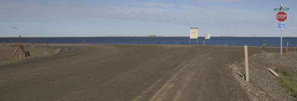 |
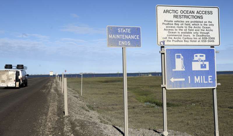
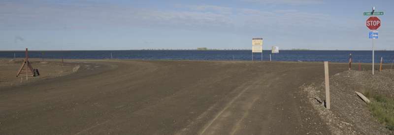
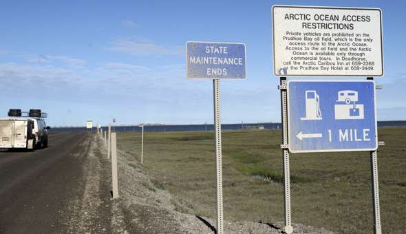
These two photos are at the north end of the highway, heading northbound. The first is a "state maintenance ends" sign, with a reminder about Arctic Ocean access rules, and also pointing to gas stations and an RV dump station. The second is the actual end of the highway, at Lake Colleen Dr., with Lake Colleen in the background. (Both photos July 2012)
|
|
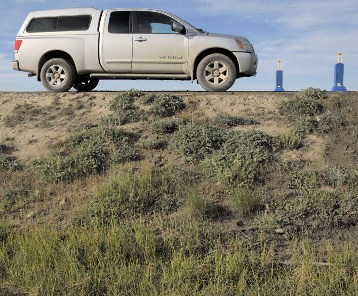
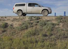
My pickup truck is parked along the southbound lane, a few hundred feet from the highway's north end. High gravel embankments like this are sometimes to level out dips in the ground (though here the ground is pretty flat), but also to protect the permafrost underneath. (July 2012)
|
 |
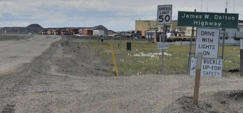 |
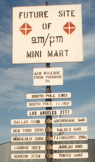
Turning back southbound, these two photos show sign assemblies at the north end of the highway as it leaves Deadhorse. The first set is a counterpart to northbound distance and next services signs farther south on the highway. The second includes the highway name, the speed limit, and under the speed limit sign a SOUTH banner suggesting a missing AK 11 route marker. (Both photos July 2012)
|
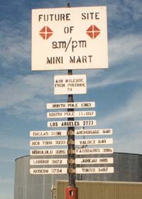
| I found this sign, past the end of the highway, rather ironic. In California, am/pm stores are good places for cheap gasoline. Up here in Prudhoe Bay, however, it's extraordinarily expensive (over $2/gallon regular unleaded when I was there in 1994, reportedly around $5.35/gallon in September 2008, and over $5/gallon in July 2012, all well over lower-48 averages), even atop one of the world's largest oil fields. With no refinery facilities at Prudhoe Bay, gasoline has to be refined elsewhere and then trucked back up here over the Dalton Highway. (July 1994) |
|
|
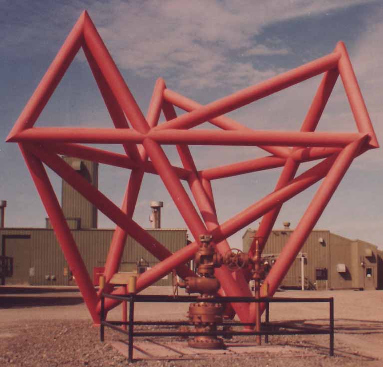
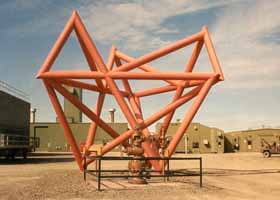
Also in Prudhoe Bay is this sculpture, supposedly called "Conundrum", obviously the handiwork of a welder with way too much time and pipe on his hands. The tour guide said this marks the first producing oil well in the Prudhoe Bay oil field. (July 1994)
|
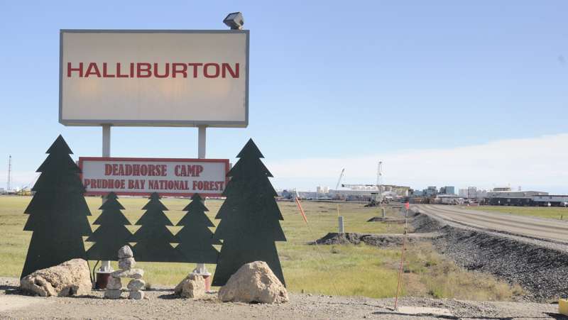
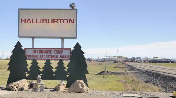
| I don't know if the am/pm sign or the sculpture were still there when I revisited Prudhoe Bay in 2012 (maybe the guide took a different route to the beach). But I did see this humorous sign in front of the local office for Halliburton, which provides support services to the oil production companies. The "Prudhoe Bay National Forest" joke is that there are no natural trees on the coastal plain anywhere near Prudhoe Bay -- not with permafrost too close to the surface for trees to survive. (July 2012) |
|
|
The design
on the tote bag I got from the oil companies on my 1994 visit, to carry
the handouts for the 30-minute propaganda film that was the "price of admission"
for our tour to go to the company-controlled Arctic waterfront (their permission
is required, for security reasons). The gist of the sales pitch was "we
haven't spilled much oil up here, we haven't spilled much along the pipeline,
the Exxon Valdez was someone else's fault ... oh, and we're starting to
run out of oil up here, so could we please please PRETTY please be allowed
to start exploration in the wildlife refuge next door?" (July 1994)
My revisit to the waterfront in 2012 was not preceded by an oil company sales pitch. But unlike the 1994 visit, I had to pay extra to the tour company taking me to and from the waterfront.
|
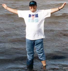
| Me, dipping my toes in the Arctic Ocean. The water wasn't as cold as I had expected (in the low 50s -- maybe two months of 24-hour daylight did the trick), though the chill breeze was a reminder that even in mid-summer there's still ice not too far offshore. Indeed, I was tempted to do a quick skinny-dip in the Arctic (one of those "you only live once" kind of things), but chickened out when I saw an oilfield security patrol about 200 feet down the beach. (July 1994)
On my 2012 revisit, to a different part of the beach with no pesky patrols present, I yielded to that tempation, and also waded farther out into the ocean. No photos of that feat -- gotta keep these pages PG-13 rated!
|
|
(Page 2: Arctic Circle-Atigun Pass)
or go back to Page 1: Livengood-Arctic Circle |
See also the Dalton
Highway page of my Road Geek Souvenirs Collection to see some colorful
Dalton Highway T-shirts and other souvenirs I brought back from Alaska.
Some other sites and other information:
The Milepost,
an annual print publication covering all significant roads in Alaska and
the Canadian Arctic, includes a very detailed route log and photos for
the Dalton Highway. It provided many of the details in these pages' photo captions.
Another of the more interesting personal travel photo collections
of the Dalton Highway, that remains online, is one
by Robert Marville and Mary Lizie.
The Northern Alaska Tour Company ran the two-day van tour I took, and offers a wide variety of tours of northern Alaska, including a popular three-day tour adding to the Dalton Highway tour a night in Barrow (now Utqiagvik), northernmost place in the United States.
The site for Alyeska Pipeline Service Co., which operates the Trans-Alaska Pipeline, has lots of interesting tidbits about the pipeline.
Alaska Roads main page (under construction as of May 2018, but has some useful information and links).
Questions, comments? Please e-mail me.
© Oscar Voss 1994, 2001-2002, 2004-2008, 2012, 2018. |
-large_DSC4670.jpg)
-large_DSC4598.jpg)